AI TOOL / #08666
Flypix
A geospatial AI platform for Earth observation data that provides object detection and analysis.
Introduction
Geospatial AI platform for object detection and analysis on Earth observation data.
What is FlyPix AI?
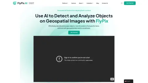
FlyPix AI is a geospatial AI platform that allows users to detect and analyze objects in geospatial images. It enables users to easily identify and analyze objects, train AI models to locate specific items, and process geospatial data associated with coordinates. The platform requires no prior knowledge of AI or machine learning.
How do I use FlyPix AI?
Users can upload geospatial images to the FlyPix AI platform, use the interactive sandbox to explore features, manually annotate objects to train custom AI models, and then use these models to automatically detect objects in new images.
Core Features of FlyPix AI
Object Detection and Analysis in Geospatial Images
Train AI models without any programming knowledge
Interactive Sandbox for Exploring Capabilities
Geospatial data associated with coordinates
Supports multispectral data
Train AI models without any programming knowledge
Interactive Sandbox for Exploring Capabilities
Geospatial data associated with coordinates
Supports multispectral data
Related
CheatGPT
An AI assistant designed for students, developers, and learners, equipped with advanced learning tools.
beauty.ai
An international beauty contest judged by artificial intelligence, which utilizes selfies and algorithms.
Booom.ai
A multi-player backend that requires no server configuration, designed for online games.
Pervaziv AI
An AI-driven software security platform designed to protect multi-cloud applications and streamline DevOps workflows.
Aimlabs
AI-driven aim trainer for FPS games, providing personalized missions and real-time analysis.
LiveReview
Code review with automatic approval based on risk levels